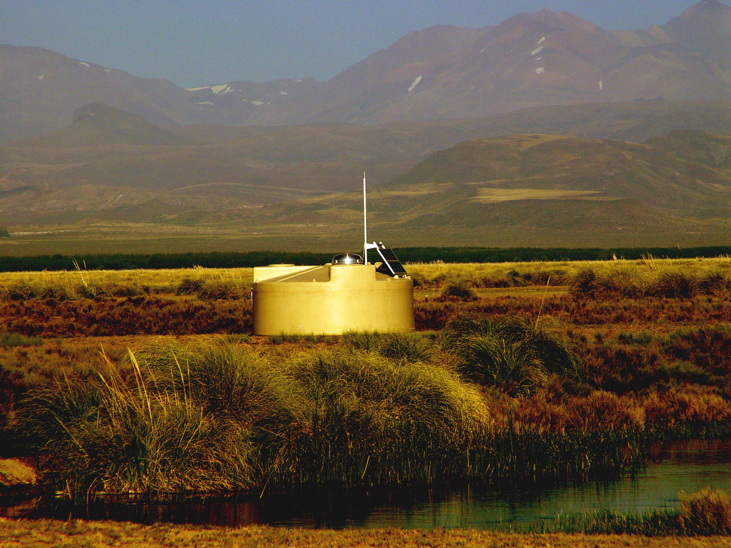
Surface Detector, Pierre Auger Observatory. Photo credit: Pierre Auger Observatory
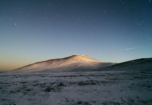
It was surprisingly difficult to locate an image to illustrate today’s post. I was inspired by the March 2013 cover story in Astronomy magazine. Written by Yvette Cendes (follow her on twitter at @whereisyvette), the article outlines the structure and research goals of the Pierre Auger Observatory in Argentina. As you can probably see from the image above, Pierre Auger is a different sort of facility, more akin to the neutrino detectors I discussed last year than South America’s more famous observatory, ESO at Paranal.
I read Cendes’ article a few hours after one of our weekly “Networks of Exchange” colloquia, the focus of which tends to be the materiality of science. This week, we were back on the subject of astronomy and how the tools—and the movement of tools—shape practice. I’m not sure anyone is ready to attribute agency to the instruments, but I feel like we’re moving closer to the default position of architects/designers, which is that objects shape experience and subjectivity in unexpected ways that have little to do with human or social intent.
At any rate, I was inspired by Cendes’ article to think more intently about the construction of scientific spaces. One one hand, it seems as if cosmic-ray detectors are minimally invasive, small-scale structures with low profiles slotted into what Cendes describes as a “truly remote and empty corner of the world.” On the other hand, the observatory is backed by a multi-national contingent of 500 scientists from 55 institutions, which means that regardless of the physical location of the detectors, the exchange of data also requires a robust communications infrastructure with a global reach.
I was completely intrigued by one of the graphics that accompanied the article. It shows the distribution of particle detectors on the pampas northeast of Malargüe. Here is a very similar graphic, published a few years ago in the CERN Courier:

Distribution of water tanks, Pierre Auger Observatory. Image credit: CERN
As Cendes explains, we can expect a ultra-high energy cosmic ray (UHECR) strike only once per square-mile of Earth’s surface every 39 years. The distribution of 1,600 water tanks over an area of 3,000 sq. km with a 1-km module maximizes the chances of detecting a UHECR strike. This graphic raises more questions for me than it answers, though. That is, it illustrates quite well the system for detecting UHECRs, but as a historian, I wonder about labor processes behind the land survey, the construction and placement of the tanks, the cadastral maps that must have determined the boundaries of the observatory, the rationalization and flattening of the landscape into an instrument of measure, and the occupation of “nothingness”.
Some of my questions were answered by the “Voices of the Universe” video issued by the observatory. I was intrigued by Paul Mantsch’s assertion that the project transcended nationalist aspirations. As I’ve noted elsewehere, there is a significant number of NASA supporters in the United States who want us to return to the “glory days” of a U.S.-dominant space program. While I wish we as a people would do a better job supporting NASA, projects like the Pierre Auger Observatory demonstrate that “national” science, if it ever existed, is almost extinct.
Okay, this was a rather loosely constructed post (and I didn’t even get to the part about Auger North or ESO’s Deep Space Antenna 3, 30km south of Malargüe), the point of which was just to say: cosmic ray research is very interesting, Cendes’ article lead me to new questions, and you should probably pick up a copy of the March issue of Astronomy.


")


